

A bad map is annoying. A really bad map can send people across an ocean looking for absolutely nothing.
A bad map is annoying when you miss an exit. It is a little more impressive when it sends explorers, treasure hunters, and entire countries chasing the wrong place for years.
Some of these mistakes came from rumors. Some came from bad copying. Some came from people seeing what they wanted to see and then drawing it with confidence.
Here are five maps that sent people looking for the wrong place.
#5 The Island of California
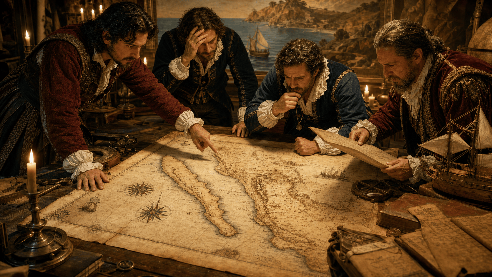
For a surprisingly long time, California had a public relations problem: a lot of maps insisted it was an island.
The idea was not invented out of nowhere. Early Spanish explorers moved through Baja California and the Gulf of California, and from a distance, with incomplete information, it was easy for rumors and misunderstandings to grow. Then the mistake found its way onto European maps in the 1600s, and once mapmakers started copying it, California spent a long time floating politely away from the mainland.
Some maps showed it as a long island off the western coast of North America. Others made it look almost like a giant misplaced puzzle piece. Either way, the message was clear: if you trusted the map too much, geography had already started lying to you.
The strange part is how stubborn the error became. Even after explorers and missionaries gathered better information, the island version of California kept appearing. In 1747, King Ferdinand VI of Spain even issued a royal decree stating that California was not an island.
That is how wrong a map can get. Eventually, someone with a crown has to step in and tell everyone the land is attached.
The Island of California earns a spot here because it shows how a copied mistake can become its own kind of fact. Put something on enough maps, and people start treating it less like a guess and more like geography with confidence.
#4 Sandy Island
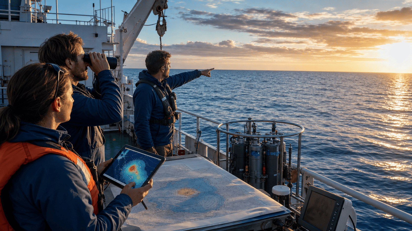
Sandy Island had one very serious flaw for an island.
It was not there.
For years, maps showed a landmass in the Coral Sea, between Australia and New Caledonia. It appeared on marine charts, world maps, and even digital map databases. Depending on where you looked, Sandy Island seemed real enough to earn a spot in the ocean.
Then, in 2012, a team of Australian scientists aboard the research vessel RV Southern Surveyor sailed through the area while studying plate tectonics. According to the maps, they should have found an island.
Instead, they found water. A lot of it.
Not shallow water either. Reports said the ocean there was more than 1,300 meters deep, which is a pretty strong argument against an island casually hiding just below the surface.
The mistake may have started with older nautical charts, possibly from misread sightings, errors copied from previous maps, or even deliberate false entries. Whatever the origin, the island survived by being repeated. It moved from chart to chart, then into modern databases, because nobody had bothered to physically check the spot closely enough.
That is the funny thing about a map error. It can look official right up until someone brings a boat.
Sandy Island belongs here because it is not an ancient legend or a medieval rumor. It lasted into the age of satellite maps and digital navigation, which somehow makes it worse. A phantom island surviving old parchment is understandable.
A phantom island making it into modern databases feels like geography got forwarded without fact-checking.
#3 The Mountains of Kong
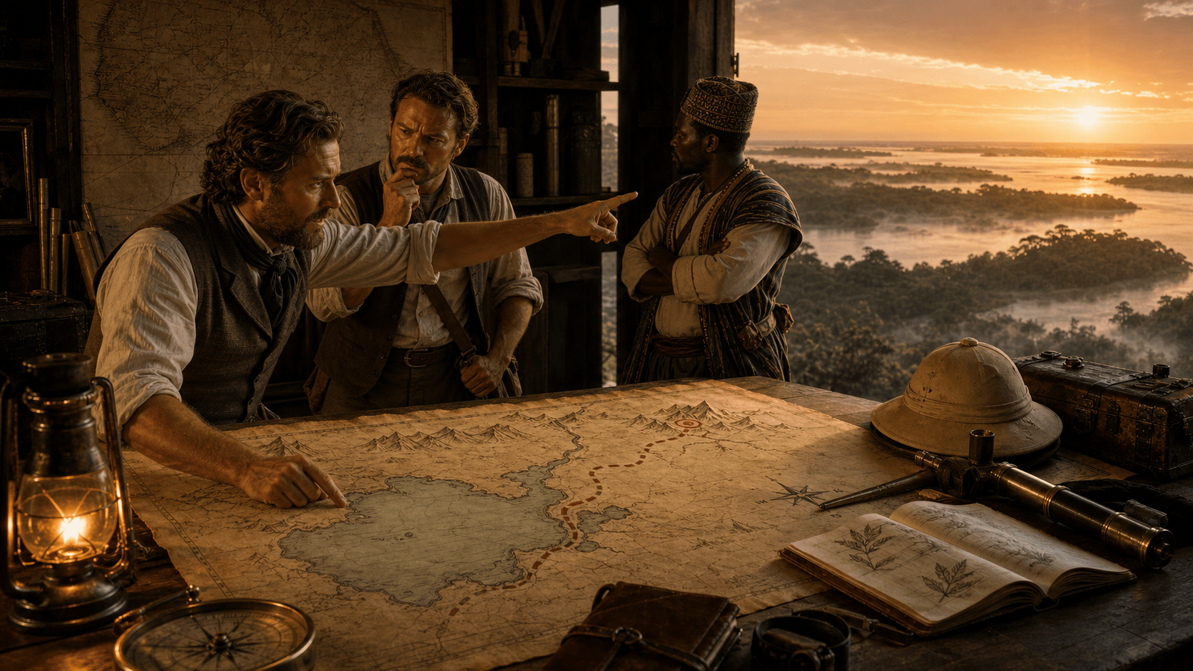
The Mountains of Kong sound like the kind of place an adventure movie would send people right before the bridge collapses.
For much of the 19th century, European maps showed a long mountain range stretching across West Africa. The problem was that the Mountains of Kong did not actually exist.
The mistake is often traced to Scottish explorer Mungo Park, whose reports and later interpretations helped feed European ideas about the geography of the region. Mapmakers began drawing the range as if it were a major barrier across West Africa. Once it appeared on maps, other cartographers copied it. Then others copied them. Before long, an imaginary mountain range had a better publishing career than many real mountains.
The Mountains of Kong mattered because maps were not just decoration. They shaped how Europeans imagined trade routes, rivers, political boundaries, and exploration. A fake mountain range could make the interior of West Africa seem more divided, more mysterious, or more difficult to cross than it really was.
It took later expeditions and better mapping to finally remove the range from serious maps. But for decades, people looked at West Africa through a mistake that had been drawn with enough confidence to seem true.
That is the uncomfortable part. A map can lie quietly. It does not need to argue. It just sits there with lines and labels, letting people believe the paper knows better than the land.
#2 El Dorado and Lake Parime
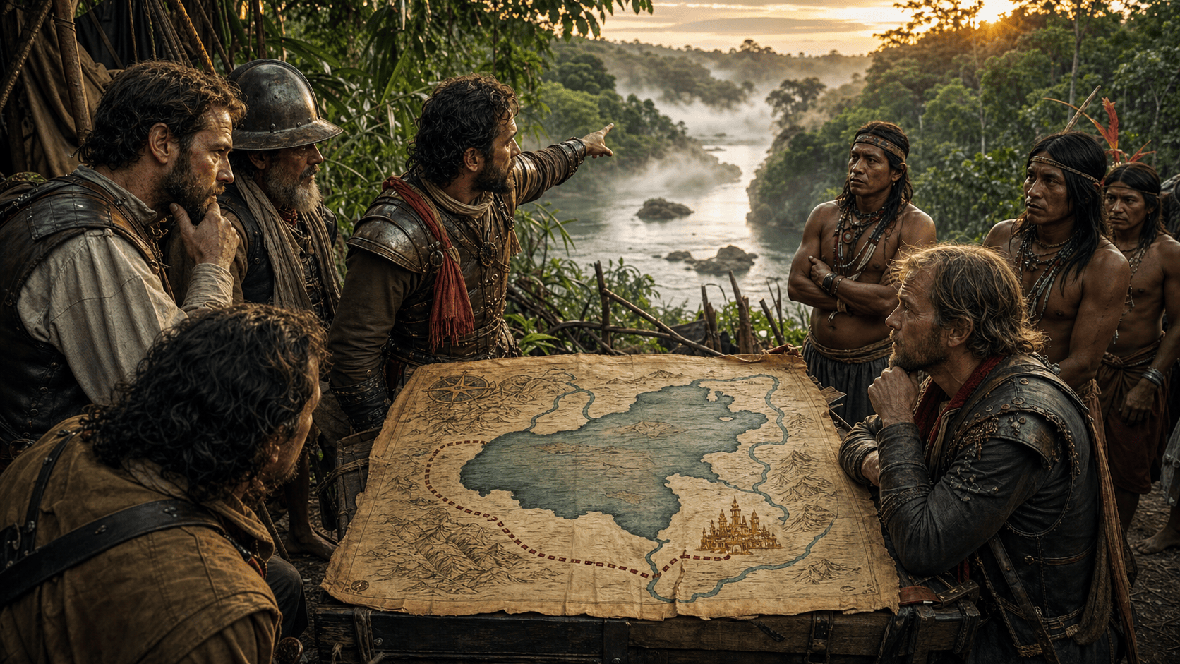
El Dorado started as a story about a person, not a city.
Early Spanish accounts described a ruler in the Andes who was covered in gold dust during a ceremony. Over time, that story changed shape. The “golden man” became a golden kingdom, then a golden city, then the kind of place that made explorers look at a jungle and think, “Sure, this seems reasonable.”
Maps helped make the legend feel more concrete.
One of the most famous versions placed El Dorado near Lake Parime, a massive lake that appeared on maps of South America for centuries. The lake was usually shown somewhere in the Guianas or northern Amazon region, and it became tied to the idea of Manoa, the supposed golden city of El Dorado.
The problem was that Lake Parime, at least as it appeared on those maps, was not real.
Explorers went looking anyway. Sir Walter Raleigh helped popularize the search in the English-speaking world after his 1595 expedition to Guiana, where he wrote about the wealthy city of Manoa. Other explorers and mapmakers kept the idea alive, turning rumors, Indigenous accounts, misunderstandings, and hope into geography.
That is the dangerous thing about a map. A legend can sound like a campfire story. Put it beside a lake, give it a name, and suddenly it feels like a destination.
El Dorado and Lake Parime belong near the top because they show how badly people wanted the map to be right. The gold mattered, obviously. But so did the paper. The map gave the dream a shape, and that was enough to keep people chasing it.
#1 Hy-Brasil
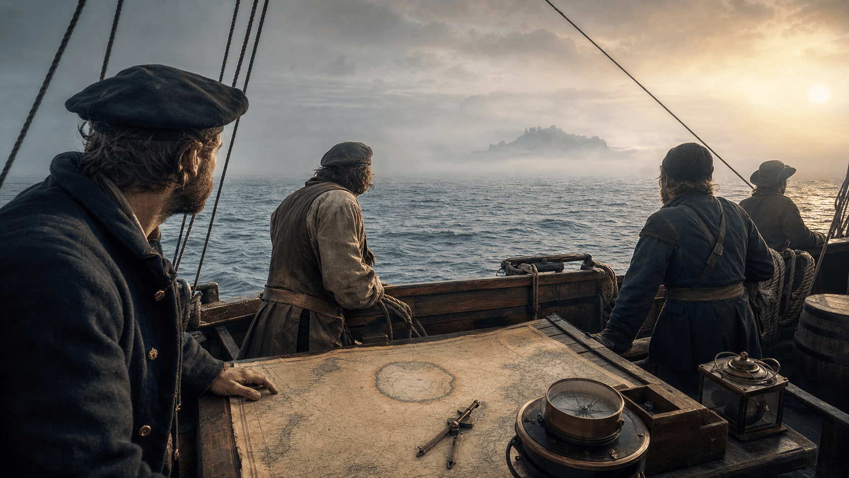
Hy-Brasil was one of those places that seemed easier to find on paper than in the ocean.
For centuries, maps showed a mysterious island somewhere west of Ireland. It appeared under different spellings, including Brasil, Bracile, and Hy-Brasil, and it was often drawn as a round island split by a channel or river. On a map, it looked specific enough to be real.
That was the problem.
Hy-Brasil appeared on charts as early as the 14th century and kept showing up for hundreds of years. Sailors, mapmakers, and storytellers treated it as a place that might be hidden, enchanted, or simply hard to reach. Some legends said it was covered in mist and only became visible once every seven years, which is a very convenient schedule for an island that refuses to prove anything.
But people did not just tell stories about Hy-Brasil. They went looking for it.
In 1480, Bristol merchant John Jay Jr. sponsored a voyage west in search of the Island of Brasil. The ship reportedly spent weeks at sea, failed to find the island, and was forced back by storms. More searches followed. In 1498, Spanish ambassador Pedro de Ayala wrote that Bristol had been sending multiple ships west in search of the island of Brazil and the Seven Cities.
That is what gives Hy-Brasil the number one spot. It was not just a phantom island drawn by bored mapmakers. It was convincing enough that people spent money, risked ships, and sailed into the Atlantic looking for a place that kept appearing on paper but not in water.
Over time, better navigation and mapping pushed Hy-Brasil out of serious geography. But it never fully disappeared from imagination. It stayed in folklore, mystery writing, and the long list of places people wanted to be real because the alternative was admitting the map had been lying for centuries.
Hy-Brasil had old maps, sailors, fog, failed searches, and just enough detail to keep the whole thing alive longer than it should have been.
For a place that probably was not there, it managed to send a lot of people in its direction.